Bringing credible methane measurement offshore
What happened
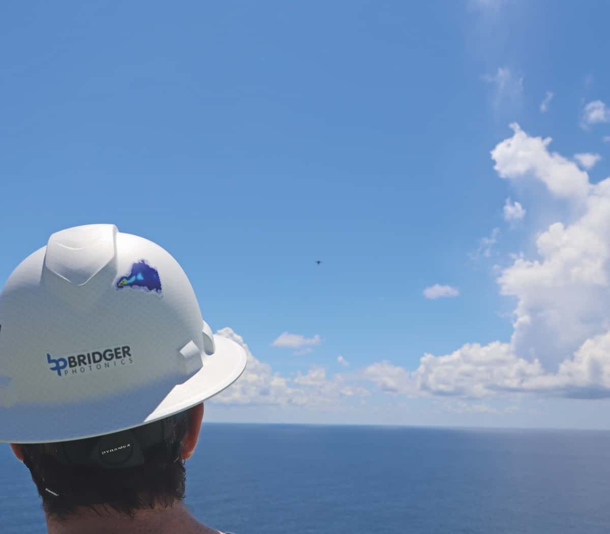
Bridger Photonics has extended its Gas Mapping LiDAR into unmanned aerial vehicle deployments tailored for offshore platforms. The system delivers quantified emission rates with equipment-level attribution suitable for higher-level reporting and mitigation prioritisation. Watch whether operators move from occasional surveys to contracted recurring measurement services and how vendors deliver integration-ready data
Buyer takeaway
Treat airborne/UAV GML as a recurring service that needs specified outputs, delivery cadence and verification procedures in contracts
Cost / money
Shifts spend from ad-hoc mobilisation to recurring service and data-validation fees
Supplier / commercial
Specialist providers may require preferred terms or slot options due to weather-limited windows
Safety / operations
Reduces personnel exposure from close-up platform inspections and enables faster prioritisation
What to watch
Confirm data formats, custody and proof-of-measurement chains before contract award; expect demand clustering on weather windows
Key facts
- UAV-based Gas Mapping LiDAR extended for offshore deployments
- Delivers quantified emission rates with equipment attribution
- Positioned to support higher-level reporting and LDAR optimisation
Source excerpts
Offshore UAV-based GML combines two complementary measurement modes: UAV GML: Optimised for equipment- and source-level detection and localisation across offshore platforms and other complex facilities Flux curtain system: Uses coordinated dual-UAV flights to quantify total facility methane emissions by measuring downwind flux Used together, these methods provide both granular source attribution and facility-scale totals from a single deployment, producing data suitable for OGMP 2. 0 Level 4 and Level 5 reporti
Just as importantly, the repeatability of Bridger’s scans allows operators to track emissions over time and across all asset types using like-for-like data, supporting mitigation validation and long-term performance tracking. From compliance to emissions intelligence The value of offshore aerial LiDAR extends beyond emissions reporting
The results are better data, faster decisions, and a scalable approach to offshore methane management aligned with the industry’s next phase of emissions accountability